BASEMAP STYLES
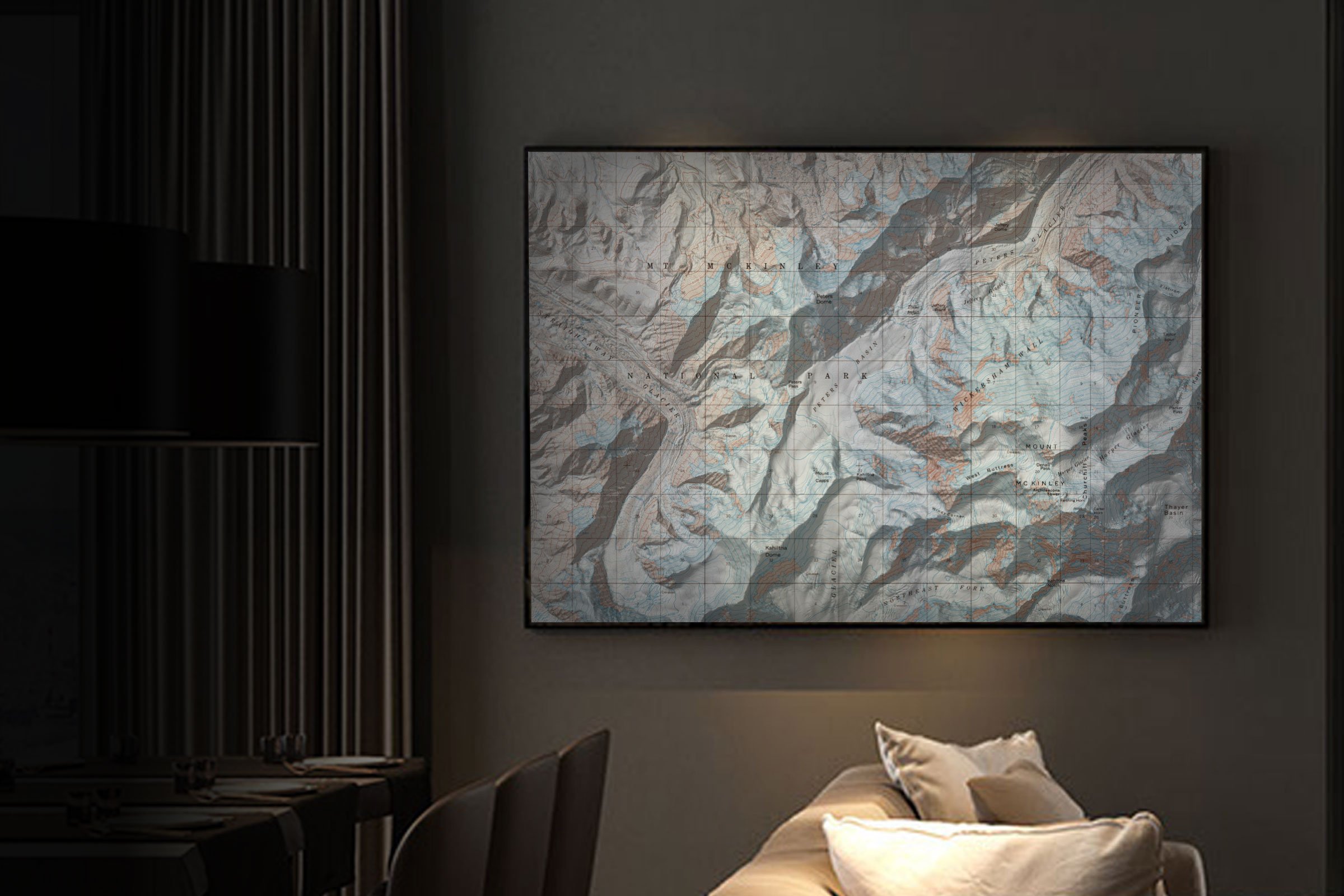
We’ve built the most complete library of basemaps available for printing on ANY of our materials. Explore our Atlas, Forest, Classic, and International series maps below.
ATLAS SERIES
Introducing our exclusive Atlas Series - the most beautiful, accurate, and up-to-date topographic maps of the United States’ outdoors. We've teamed up with our friends at Natural Atlas to bring you better maps that are constantly evolving through crowdsourced data. Available in topo, public lands, or aerial photo variations, the Atlas maps feature 40’ contours, roads, trails, campsites, areas of interest and a whole lot more. Want it blended with a satellite image … you can … see our Forest Series below!
ATLAS STYLE VARIATIONS (SELECT IMAGE TO ENLARGE)
Atlas Topo
Atlas Public Lands
FOREST SERIES
Showing real world conditions on the ground by seamlessly blending satellite + aerial photography options with adjustable terrain shading. Get it as just an image or have it blended with our Atlas topo or public lands data sets showing 40’ interval contours, roads, trails, campsites, areas of interest, public lands, and more. Now with 2 satellite photo variations so you can compare to find the best image for your area of interest!
FOREST STYLE VARIATIONS (SELECT IMAGE TO ENLARGE)
Satellite Imagery
Satellite Image + Topo
Satellite Image + Topo + Public Lands
Aerial Imagery
Aerial Image + Topo
Aerial Image + Topo + Public Lands
CLASSIC SERIES
The classic maps we’ve all grown up with, including USGS + Forest Service variations. But don’t worry about your quad cutting off in just the wrong spot ... we’ve tiled them all together so you can choose whatever area you want. A perfect choice for keeping it old school.
CLASSIC STYLE VARIATIONS (SELECT IMAGE TO ENLARGE)
Classic USGS
Classic US Forest Service
INTERNATIONAL SERIES
Heading out on a global adventure and want to be ready to see new terrain or looking to memorialize your amazing trip? Our new International Series Basemaps have you covered in Canada, New Zealand, Norway, Sweden, Iceland, Switzerland and Spain. Historic maps tiled together so you can zoom in or out to your liking. If you’re looking for a satellite photo of anywhere in the world checkout our Forest Series - Satellite version.
INTERNATIONAL STYLE VARIATIONS (SELECT IMAGE TO ENLARGE)
International Canada
International New Zealand
International Scandinavia
International Switzerland
International Spain


